
With Lengthening Hurricane Season, Meteorologists Will Ditch Greek Names and Start Forecasts Earlier
The record-setting hurricane season of 2020 has prompted the World Meteorological Organization’s hurricane experts to change how they name tropical storms and when to start issuing regular hurricane bulletins.
When Hurricanes Zeta, Eta and Iota slammed the Caribbean and the Gulf of Mexico in the first two weeks of November 2020, the rapidly growing list of unusual, similar-sounding names may have diluted critical safety messaging in the storm-plagued region, National Hurricane Center director Ken Graham said Wednesday, during a discussion of the changes at a meeting of the WMO’s Hurricane Committee.
There were a record number of named tropical storms in the Atlantic last year, and some storm-weary residents in hurricane-prone regions were getting the names mixed up, he said. Hurricane experts, the WMO announced, will stop using Greek alphabet names after exhausting the “regular” alphabet, which has only happened twice—in 2005 and last year. The committee is also retiring the names Eta, Iota and Laura, which were given to 2020 storms, and Dorian, from the 2019 season, because of the death and destruction that the hurricanes with those names caused.
“There was so much focus on the names that maybe the impacts of storms were lost,” he said of the series of confusing storm names last year. “In some cases, names were pronounced incorrectly, and some of the names were not easily translatable to Spanish,” he added. “Hurricanes do not have international boundaries,” so critical safety communication needs to be absolutely clear in various languages.
Hurricane experts in the United States started giving tropical storms short, distinctive female names in the mid-1950s, to streamline communications about the hazards. The WMO added male names in 1978 and Greek alphabet letters toward the end of the hyperactive 2005 hurricane season, which had the most named tropical storms until last year.
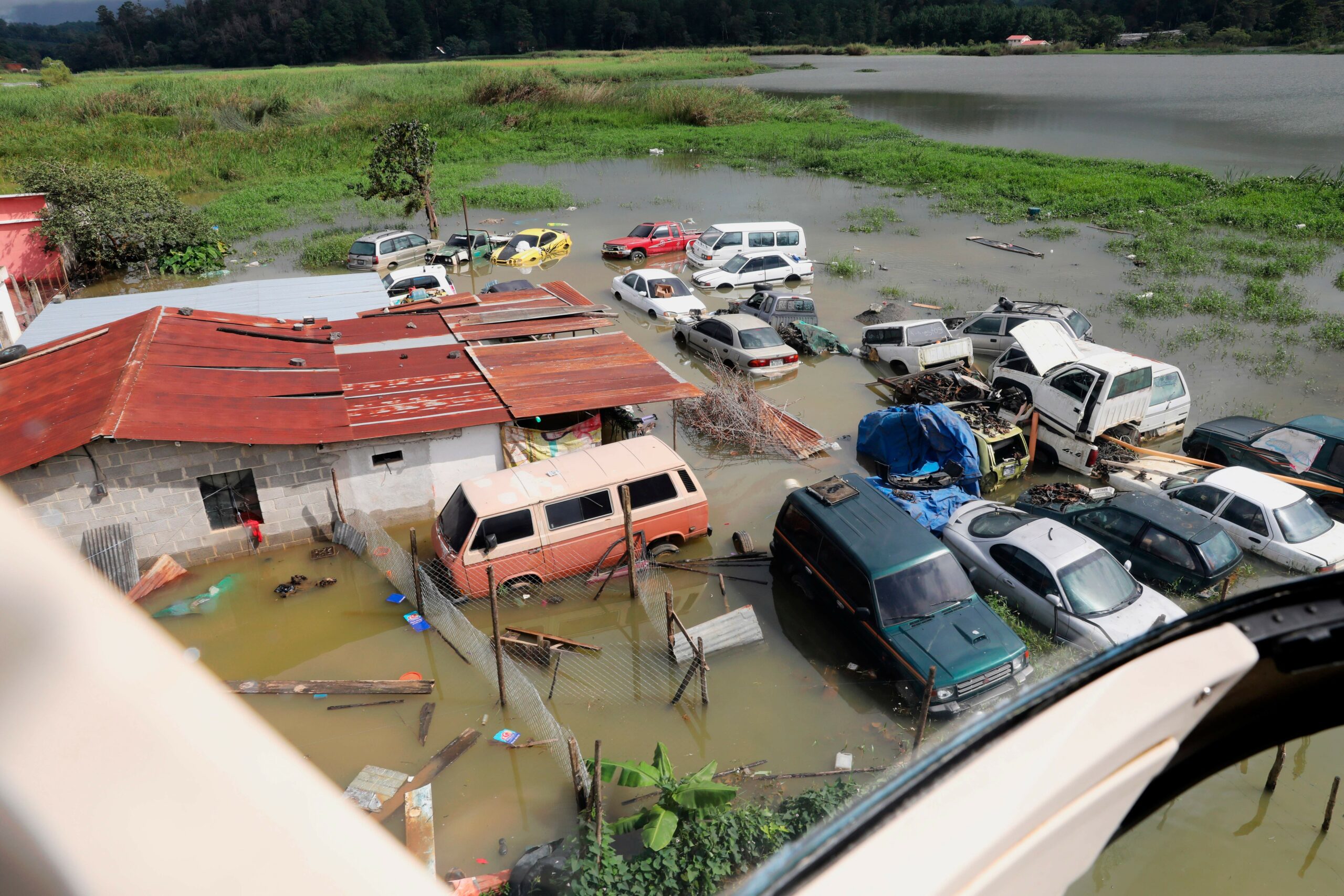
The unusual spate of late season storms started Oct. 27, when Zeta hit Louisiana at peak intensity, after causing widespread damage in the Yucatán Peninsula and Jamaica. In the Southeast United States, Zeta killed six people, flooded city streets and knocked out power for more than 2 million people.
Hurricane Eta hit Nicaragua’s Mosquito Coast Nov. 3 as a 150 mph, category 4 storm, killing 210 people. Two weeks later, Iota’s winds quickly ramped up from 110 mph to 150 mph, just before blasting nearly the same section of the Nicaraguan coast. It was the strongest storm of the 2020 season, and the latest-forming category 5 hurricane on record in the Caribbean.
Together, the two late-season tropical storms caused 272 fatalities and more than $9 billion in damages.
Related: Hurricane Season 2018: Experts Warn of Super Storms, Call For New Category 6
The WMO’s Hurricane Committee also decided to start issuing its regular hurricane bulletins for the Atlantic on May 15, two weeks earlier than in previous seasons, Graham said. That decision came after discussions about changing the “official” start date of the season from June 1 to May 15—considerations that are continuing amid worrying signs that the hurricane season may be getting longer.
While research into whether the season is expanding is still inconclusive, the 2020 season was the record sixth in a row in which a tropical storm formed before the official start date. Ocean heat is the main fuel for hurricanes, and global warming is driving sea surface temperatures and deep ocean heat to new record levels nearly every year.
Related: Hurricane Lane Brings Hawaii a Warning About Future Storm Risk
Warmer Oceans Fuel Increasing Hurricane Activity
“The length of the hurricane season increases by about 40 days per degree Celsius of warming (the season starts about 20 days earlier and lasts about 20 days longer, on average),” according to the National Oceanic and Atmospheric Service. “But the link to climate change for this is not as clear because our understanding of how and why hurricanes form is not as strong as our understanding of how and why hurricanes intensify.”
Right now, the Atlantic Ocean is about 1.8 degrees Fahrenheit to 3.6 degrees Fahrenheit warmer than average, so the coming season is likely to again see above average hurricane activity, said Jim Kossin, a hurricane researcher with NOAA and the University of Wisconsin.
“We’ve had a number of advances in our understanding of how tropical storms will be affected by global warming,” he said.
Related: In a Warming World, Hurricanes Weaken More Slowly After They Hit Land
The most intense storms are more frequent, tropical storms are intensifying faster over warmer water and hurricane tracks seem to be shifting toward the poles, Kossin noted.
“They seem to be moving more slowly along their tracks over land, which can have a huge effect on local rainfall amounts and wind damage,” he added. “Any of these changes would certainly affect hurricane risk for people and communities.”
Keep Environmental Journalism Alive
ICN provides award-winning, localized climate coverage free of charge and advertising. We rely on donations from readers like you to keep going.
You will be redirected to ICN’s donation partner.
A study published last week in Science challenges some of the assumptions about how natural cycles of warming and cooling Atlantic Ocean temperatures affect hurricane frequency, said Penn State climate scientist Michael Mann, one of the authors.
The research suggests that a temperature swing previously identified as a natural cycle—the Atlantic Multidecadal Oscillation—is not natural at all. Mann said last year’s preseason tropical storm forecasts, which underestimated the busy season, showed the potential “flaw in linking Atlantic hurricane activity to a supposed natural AMO climate oscillation.”
About 93 percent of the heat trapped by greenhouse gases is now stored in the oceans, and the sheer amount of additional heat energy is a prime driver of tropical storms and hurricanes, said New Zealand-based climate scientist Kevin Trenberth, a distinguished scholar at the National Center for Atmospheric Research who focuses on ocean heat.
While the fundamental physics are clear, climate models have struggled to pin down such intense, short-lived events, he said. Until recently, climate projections suggested that global warming might mean fewer storms overall. But those results are now in question, based on results from new climate models that can analyze the complex links between oceans, atmosphere and land at a more detailed level.
In the last few years, studies have shown trends of more intense and longer-lasting tropical storms and shifting paths, he added. One recent study suggests the northeastern United States could become more of a target, while other research shows devastating storms could stall over one area for longer, as Dorian did over the Bahamas in 2019.
Warming could affect a range of different aspects of hurricane activity, including the intensity, duration, frequency and number of tropical storms, Trenberth said, as well as the tracks the storms follow across the Atlantic.
“It seems clear to me that there ought to be more activity with global warming,” he said.

Freelancer
Bob Berwyn an Austrian-based freelance reporter who has covered climate science and international climate policy for more than a decade. Previously, he reported on the environment, endangered species and public lands for several Colorado newspapers, and also worked as editor and assistant editor at community newspapers in the Colorado Rockies.


